

.svg)
3D Laser Scanning for Overhead Clearances
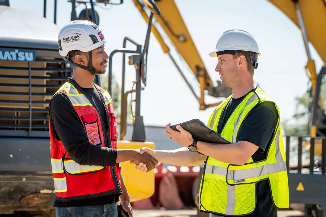
3D laser scanning for overhead clearances is a powerful technique used to accurately measure and document the space around facilities, buildings, or sites. According to OSHA, nearly 30% of all crane-related accidents resulted in fatalities due to electric shock or fire from a boom and crane’s contact with energized power lines. It is important to inform excavator equipment operators of the presence of overhead wires and utilities, plus trees and other obstructions. Through the use of 3D laser scanning, measuring overhead obstructions is quick, safe, and accurate.
GPRS Project Managers can calculate the overhead clearance from the ground and do not have to worry about coming into contact with overhead lines, trees, and utility poles, etc. Furthermore, 3D laser scan technology is more accurate than traditional methods because it looks at thousands of points along the clearance plane, not just a few sample points.
How Does 3D Laser Scanning Work?
Laser Scanning: A 3D laser scanner emits LiDAR laser beams that bounce off surfaces and return to the scanner. By measuring the time it takes for the laser to return and the angle at which it returns, the scanner calculates the distance to the surface and creates a point cloud—a dense collection of points in the 3D space.
Data Capture: The 3D laser scanner is positioned at multiple locations around the facility, building, or site. Each positioning captures a set of 3D data points, which are combined to create a point cloud of the space.
Point Cloud Processing: The collected point clouds are processed using specialized software to generate detailed 2D drawings and 3D models. These drawings and models can be analyzed for various measurements, including overhead clearances.
Clearance Analysis: The data captured allows contractors and engineers to measure vertical clearances with high precision. They can simulate the passage of vehicles or equipment through the space and assess if there are any potential obstructions.
What are the Benefits of 3D Laser Scanning for Overhead Clearances?
Accuracy: 3D laser scanning provides highly accurate measurements of overhead clearances and site obstructions, which are crucial for ensuring safe operation and passage for vehicles and machinery.
Speed: Compared to traditional manual measurements, laser scanning is much faster, allowing for quicker data collection and analysis.
Detailed Visualization: The 2D drawings and 3D models created from laser scanning offer a detailed visualization of the space, which can be useful for planning, design, and operational purposes.
Documentation: The data can be archived and used for future reference, helping in maintenance planning and any future modifications.
Risk Reduction: By providing accurate data, 3D laser scanning helps in identifying potential issues before they become problems, thereby reducing risks and improving safety.
What are the Applications for 3D Laser Scanning for Overhead Clearances?
Infrastructure: Used in the maintenance and inspection of bridges, tunnels, and overpasses to ensure they meet clearance requirements.
Construction: Helps in verifying that new structures meet design specifications and clearances.
Transport: Assists in ensuring that roads and railways are clear of obstructions and can accommodate the intended traffic.
Power Lines: Allows workers to maintain a safe distance from the power lines. OSHA recommends a distance of at least 10 feet from overhead lines and more than 10 feet if the voltage to ground is over 50 kilovolts (50,000 volts). This clearance distance must be increased by 4 inches for every 10 kilovolts over 50 kilovolts. The higher the voltage, the greater the distance that is needed between the lines and the workers.
3D Laser Scanning Pricing
3D laser scanning for overhead clearances is a valuable tool for professionals involved in infrastructure management, construction, and transportation planning, offering precision and efficiency in managing complex spatial environments.
The cost of 3D laser scanning can vary widely depending on your project scope. GPRS customizes every quote specific to your project’s needs. GPRS Project Managers use 3D laser scanners to capture every detail of your site, delivering building dimensions, locations, and layout with millimeter accuracy. This can include the aboveground structural, architectural, and MEP features, plus overhead lines, trees, and utility poles. Our Mapping & Modeling Team can deliver point clouds, 2D CAD drawings, 3D BIM models, 3D Mesh models, TruViews, and Virtual Tours at any level of detail.
Contact us today to see the expertise and value that GPRS Laser Scanning can provide.
What can we help you visualize?