

.svg)
In the United States, about 50% of our drinking water comes from well water. Because of this, the risk of contamination is a serious matter that needs to be addressed with smart solutions.
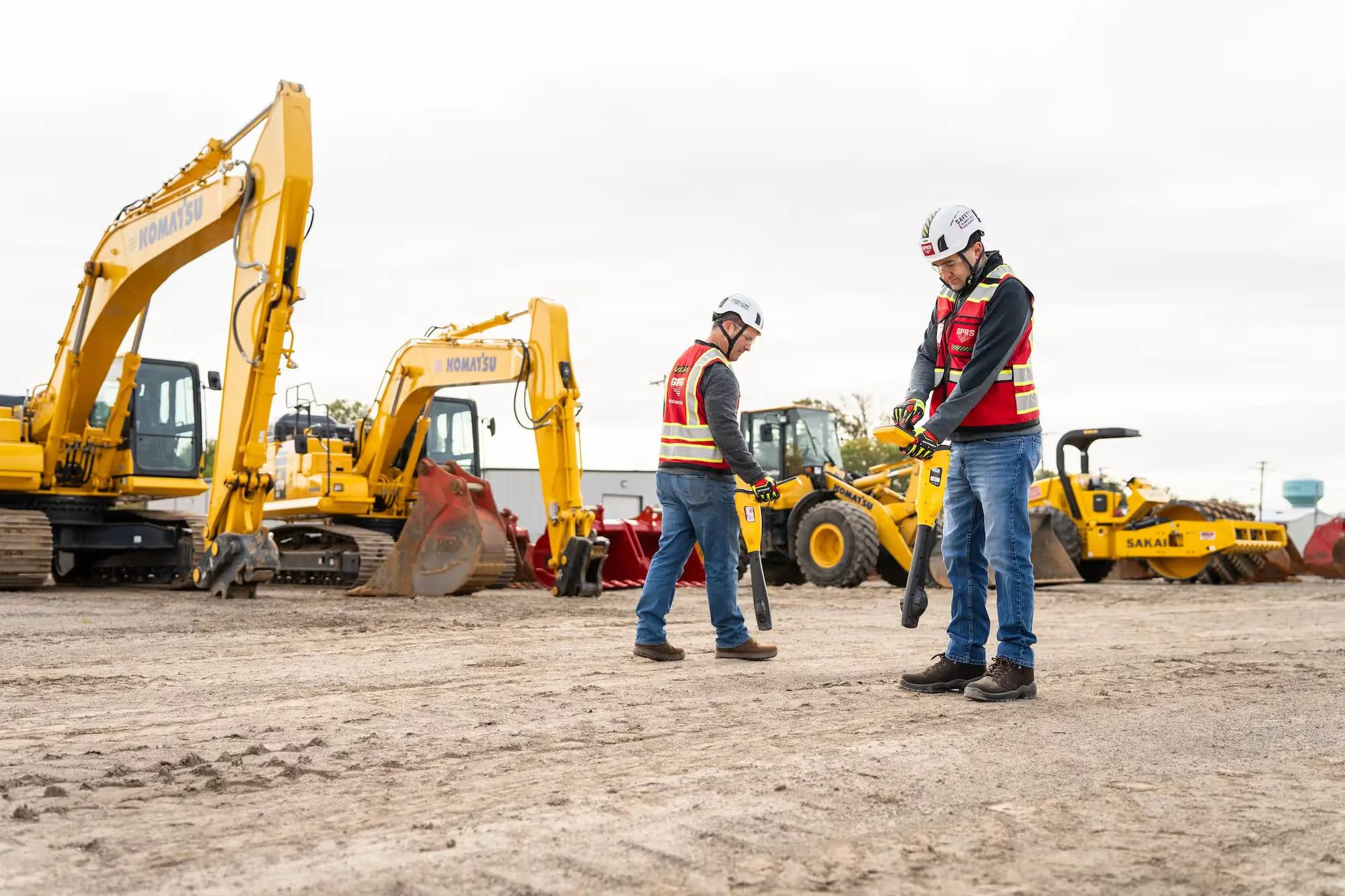
Ground penetrating radar (GPR) has emerged as an exciting technology in environmental science, particularly for its non-invasive capabilities in monitoring groundwater resources and detecting migration pathways for subsurface contaminants. GPR has the ability to be one of the smart solutions that water utilities and specialists need to keep our groundwater fresh and safe.
Environmental sustainability relies heavily on effective monitoring and management of groundwater quality and the prompt, early detection of contaminants. Conventional methods often involve invasive procedures that can disrupt ecosystems and pose risks to groundwater integrity. GPR presents a promising alternative, utilizing electromagnetic waves to map subsurface features and identify facilities and anomalies indicative of groundwater levels and contamination presence. GPRS has a multitude of helpful services for mapping utilities, including our cardinal offerings, Ground Penetrating Radar and utility locating services.
The Ins and Outs of Ground Penetrating Radar
Ground penetrating radar functions on the principle of electromagnetic wave propagation. It emits high-frequency pulses into the ground and detects the reflections from subsurface interfaces, which vary in dielectric properties. Analysis of these reflections provides cross-sectional images of the subsurface, shown as hyperbolas, that can detail potential migration pathways, voids, and contaminant zones.
The causes of contamination stem from both point sources and nonpoint sources. Since groundwater moves slowly, the contaminated area may extend through only a small portion of an aquifer for a considerable period of time. The deleterious effects of groundwater contamination on human health have been recorded in abundance. These effects have resulted from pathogenic organisms in groundwater and from toxic chemical composition. It's rather difficult to estimate the extent of contamination on a national basis as the frequency of instances of contamination is widespread and variable. Remedial actions to clean up aquifers are often difficult, expensive, and sometimes aren’t even feasible. Many of the laws and regulations that control groundwater contamination are designed with other objectives.
It is easy to be unaware of the potential problem, as many believe that all water is easily accessible, and that it is heavily treated by cities, towns, and municipalities. Sometimes, due to outmoded facilities, and subsurface sewer system issues, this is not always true. The water sources can become contaminated due to dumping, run off, or some other complication.
Such is the case with Flint, Michigan, where the water has been heavily contaminated with lead, and possible legionella bacteria. The water was rendered undrinkable and unsafe. While some of the issue still remains in some capacity, it has greatly improved. In the early days of the crisis, Flint's nearly 100,000 residents complained their tap water was undrinkable. The water was cloudy, foul smelling, and tasted of chemicals or even something worse. The system suffered E. coli outbreaks, and eventually, the city acknowledged it was in violation of the Safe Drinking Water Act. After ten years of action and outreach, the EPA has declared the water to now have acceptable levels of lead.
Underground Detection
Ground penetrating radar has the ability to help detect issues that can affect water sources before they become disastrous. GPRS provides assistance in Phase I and Phase II Environmental Site Assessments (ESAs), whether for due diligence before a sale or when tracking potential contamination for regulatory concerns. We provide accurate utility locates that map potential preferential pathways for contaminants and can provide detailed and 99.8% accurate conceptual site models (CSM) for 3D site visualization.
Another way GPR can be used is in contaminant hydrology, which GPRS does not provide. In this application, radar data can be used to detect the presence of liquid organic contaminants. Many of these contaminants have dielectric properties which are distinctly different from those of the other solid and fluid components. The resolution of the radar imaging is such that it can also be used in the development of hydrogeologic models of the subsurface. These models are required to predict the fate and transport of contaminants. GPR images are interpreted to obtain models of the large-scale architecture of the subsurface and to assist in estimating hydrogeologic properties such as water content, porosity, and permeability.
GPR is used for all sorts of applications around the globe. From small scale individual utility locates to much larger concrete imaging of an entire high-rise, the applications are endless, especially in terms of the environment. Locating utility lines, abandoned underground storage tanks (USTs), and other subsurface features can help predict transport paths of contaminants. Such in-depth reporting requires an accurate model of the physical, chemical, and biological properties of the site prior to any core sampling or vapor pin installations for environmental investigations and reporting. GPR has tremendous appeal as a noninvasive means of imaging the subsurface, and GPRS has the accuracy and the values you need and want to get the job done well.
Applications of GPR in Environmental Science

While versatile across various fields, GPR's primary applications in environmental science include:
Geological Surveys: Mapping subsurface structures, faults, and stratigraphy.
Archaeological Investigations: Locating buried artifacts and ancient landscapes.
Infrastructure Evaluation: Assessing the condition of roads, bridges, and pipelines.
Groundwater Monitoring Using GPR
Effective groundwater management hinges on accurate data. Other applications of Ground penetrating radar can facilitate this by:
Water Table Mapping: Determining groundwater depth and fluctuations.
Aquifer Characterization: Differentiating between porous and impermeable geological formations.
Flow Path Identification: Tracing groundwater movement and recharge zones.
Through case studies, GPR's utility in informing hydrological models and water resource management strategies becomes evident.
Contaminant Detection with GPR
The identification and characterization of contaminants in groundwater are critical for environmental health. GPR aids in this by:
Plume Mapping: Identifying the extent and migration pathways of contaminant plumes.
Material Discrimination: Distinguishing between natural geological strata and contaminated zones.
Remediation Monitoring: Evaluating the effectiveness of cleanup efforts through pre- and post-remediation surveys.
Again, GPRS does not conduct contaminant hydrology assessments. We map the subsurface facilities and utilities in support of Phase I and Phase II environmental studies.
Advantages and Limitations of GPR
GPR offers several advantages over traditional methods, including:
Non-invasiveness: Minimizing disturbance to natural habitats and archaeological sites.
Real-time Data Acquisition: Providing immediate feedback on subsurface conditions.
High Resolution Imaging: Detailing intricate subsurface structures and anomalies.
Limitations include depth constraints in certain geological settings and the need for skilled interpretation and advanced processing techniques.
Future Directions and Innovations
The future of GPR in environmental applications is promising, driven by advancements such as:
Technological Integration: Combining GPR with GIS and remote sensing for comprehensive spatial analysis, just like we’ve done with our comprehensive platform, SiteMap® (patent pending), powered by GPRS. SiteMap® is an application that can visualize georeferenced utility data, site photos and videos, BIM Models, and CAD files all in one platform. The platform is free for GPRS customers and also has available subscription tiers for different construction and facility needs. SiteMap® shows data in a customizable, intuitive, affordable platform that updates data in minutes.
Enhanced Performance: Developing higher frequency antennas and refined signal processing algorithms.
Automation and Robotics: Implementing autonomous GPR systems for continuous monitoring in remote or hazardous environments.
These innovations aim to overcome current limitations and broaden the scope of GPR's applicability in addressing complex environmental challenges.
GPRS does it differently, offering a non-invasive, high-resolution approach to mapping underground utilities, facilities, and USTs to aid in detecting preferential pathways for contaminants in subsurface environments. GPRS takes it a step further, offering 99.8% accuracy, proven across more than 500,000 jobs nationwide. GPR is changing the way we see and manage our world. And GPRS Intelligently Visualizes The Built World® for customers nationwide. What can we help you visualize?