

.svg)

Highlights
THE BOTTOM LINE
Precise knowledge of components embedded in concrete helped to keep this parking garage renovation project safe, on time, and on budget.
Industry
Construction and Renovation
Service
Concrete Scanning, 3D Laser Scanning, Mapping & Modeling
Location
Beckley, West Virginia
GPRS Project Manager Insight
Deliverables
Concrete Imaging, Point Cloud, 3D Revit Model
PROJECT APPLICATION
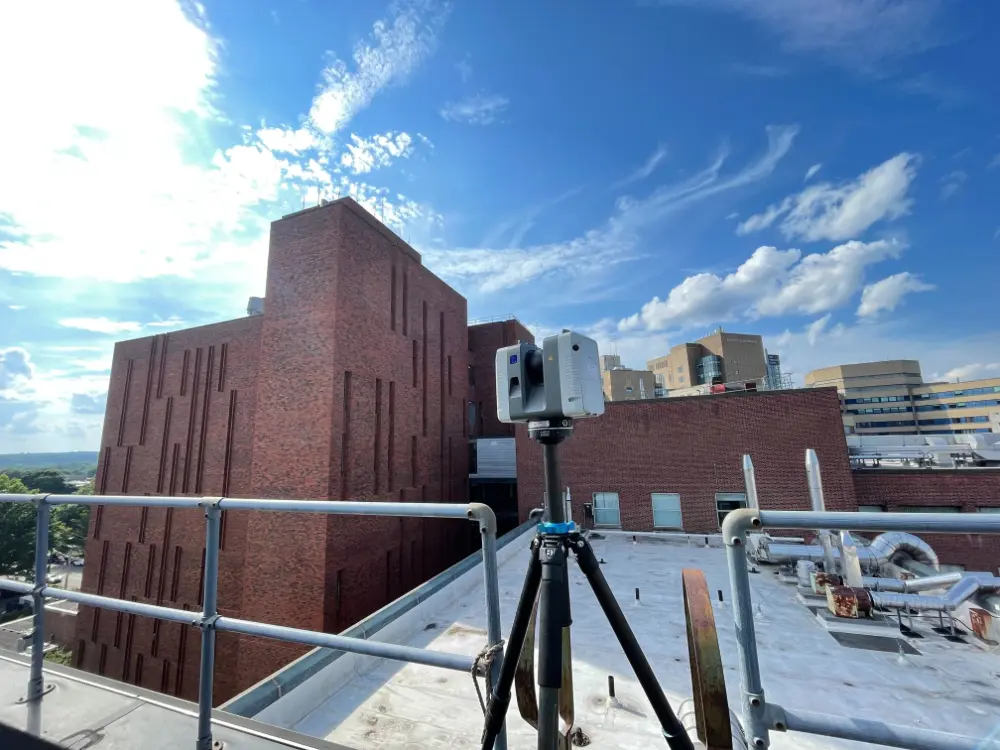
Concrete scanning locates and marks rebar, post tension cables, and electrical conduits. 3D laser scanning saves a permanent record of the findings in a point cloud and can be used to create 2D CAD drawings and a 3D BIM model of a slab interior.
ASK
Task
The client required a 3D Revit model of a parking structure in West Virginia that incorporated structural reinforcements and electrical conduit inside the concrete slabs.
PROBLEM
The client needed to know the location of rebar, post-tension cables, and electrical conduit in and under the concrete to prevent costly and dangerous mistakes during renovations, repairs, or drilling.
Solution
- GPR scanners send radio waves into concrete and detect how they interact with objects below the surface. This creates a readout with different shapes based on the material found.
- GPRS’ SIM-certified Project Managers interpret this data to locate and mark concrete embedment’s and estimate their depth.
- A 3D laser scanner uses LIDAR technology to permanently record a high-resolution 3D representation of the concrete markings in a point cloud.
- The captured point cloud is processed in software like Leica Cyclone or Autodesk Recap, where markings can be identified, extracted, and used to generate 2D drawings or 3D models.
Benefits
- Ground penetrating radar and 3D laser scan technology minimized risk and helped to ensure a safe, efficient project.
- A 3D BIM model provided the client a permanent record of rebar, post-tension cables, and electrical conduits to avoid cutting post-tension cables, damaging electrical conduits, and maintaining the integrity of the parking garage.
- A 3D CAD model allowed the client, engineers, and architects the ability to overlay data into their own software to assist with both the planning and implementation phases of this renovation project.
CASE STUDY GALLERY


.avif)


.avif)

