
Highlights
THE BOTTOM LINE
The customer received 99.8%+ accurate utility locating data and CAD map overlays for seven locations across four states in less than a month to coordinate collaboration on design & construction.
INDUSTRY
Engineering
SERVICE
Utility Locating
LOCATION
GPRS Insight
Deliverables
PROJECT APPLICATION
Provide subsurface data to help the client prepare design, geotechnical work, and construction execution for 142 acres of compression station locations in multiple U.S. states.
ASK
Conduct full site utility locates for seven compression stations located in four states and deliver CAD files containing subsurface infrastructure data to the customer.
Task
Conduct full site utility locates for seven compression stations located in four states and deliver CAD files containing subsurface infrastructure data to the customer.
PROBLEM
- The customer required comprehensive subsurface utility & infrastructure mapping data for seven compression stations in Ohio, Kentucky, Indiana, and Mississippi
- Utilities located at compression facilities are complex and condensed, requiring precise and accurate measurements
- Daylighting or potholing to identify utility lines posed additional risk for the customer due to the proximity of buried gas pipelines, so it was vital to utilize non-destructive testing & imaging (NDT)
- The projects required an expedited turnaround time from field work to CAD delivery
Solution
- GPRS Project Managers visited all seven locations to provide SIM-supported utility assessment and mapping
- Electromagnetic (EM) locators were initially used, complemented by ground penetrating radar (GPR) deployed in a 5 ft. x 10 ft. grid pattern to capture every underground feature, including depths
- GPS/GNSS Geodes were utilized to geolocate and upload precise geographical data to SW Maps & SiteMap®
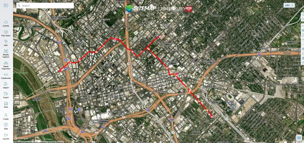
- GPRS’ Mapping & Modeling Team exported the geolocated utility data to create precise CAD satellite image overlays of all underground utilities which were also delivered via SiteMap®
Benefits
- Thanks to SIM (Subsurface Investigation Methodology) the client was assured that each site would have the same level of precision mapping & measuring, regardless of location
- GPRS’ national footprint and 500-strong elite team of SIM-certified Project Managers allowed for easy multi-state coordination and rapid response
- In-house mapping & modeling provided by GPRS provided all necessary data to meet the clients one-month timeframe
- SiteMap® allowed the customer to have secure, shareable 24/7 access to their utility data via the desktop and/ or SiteMap® Mobile App as a single source of truth for all team members
CASE STUDY GALLERY
No items found.


.svg)


.avif)

