
Highlights
THE BOTTOM LINE
GPRS’ use of Subsurface Investigation Methodology paired with the high-speed GPR array provided the most precise subsurface utility infrastructure mapping available, found 171 lines in 55 minutes, and completed the job without disrupting traffic flow.
INDUSTRY
SERVICE
LOCATION
Charlotte, North Carolina
GPRS Insight
Deliverables
PROJECT APPLICATION
ASK
Task
Accurately map the entire subsurface utility infrastructure of 0.6 miles of three-lane, high-speed road in the city of Charlotte, North Carolina
PROBLEM
- Data collection had to be done without disrupting traffic with lane closures, detours, or slow-downs
- Data had to be complete and highly accurate with RTK positioning coordinates, and portable to various GIS systems
- Although the high-speed array was accurate, it has limitations. To create a comprehensive map, complementary technologies & methods were required
Solution
- GPRS controlled array data quality in the field: found & filtered out poor GPS coordinates on site
- GPRS’ Mapping & Modeling Team employed slicing, data filters, and soil velocity calibrations to the array data to ensure precise depths and extract 171 lines for mapping
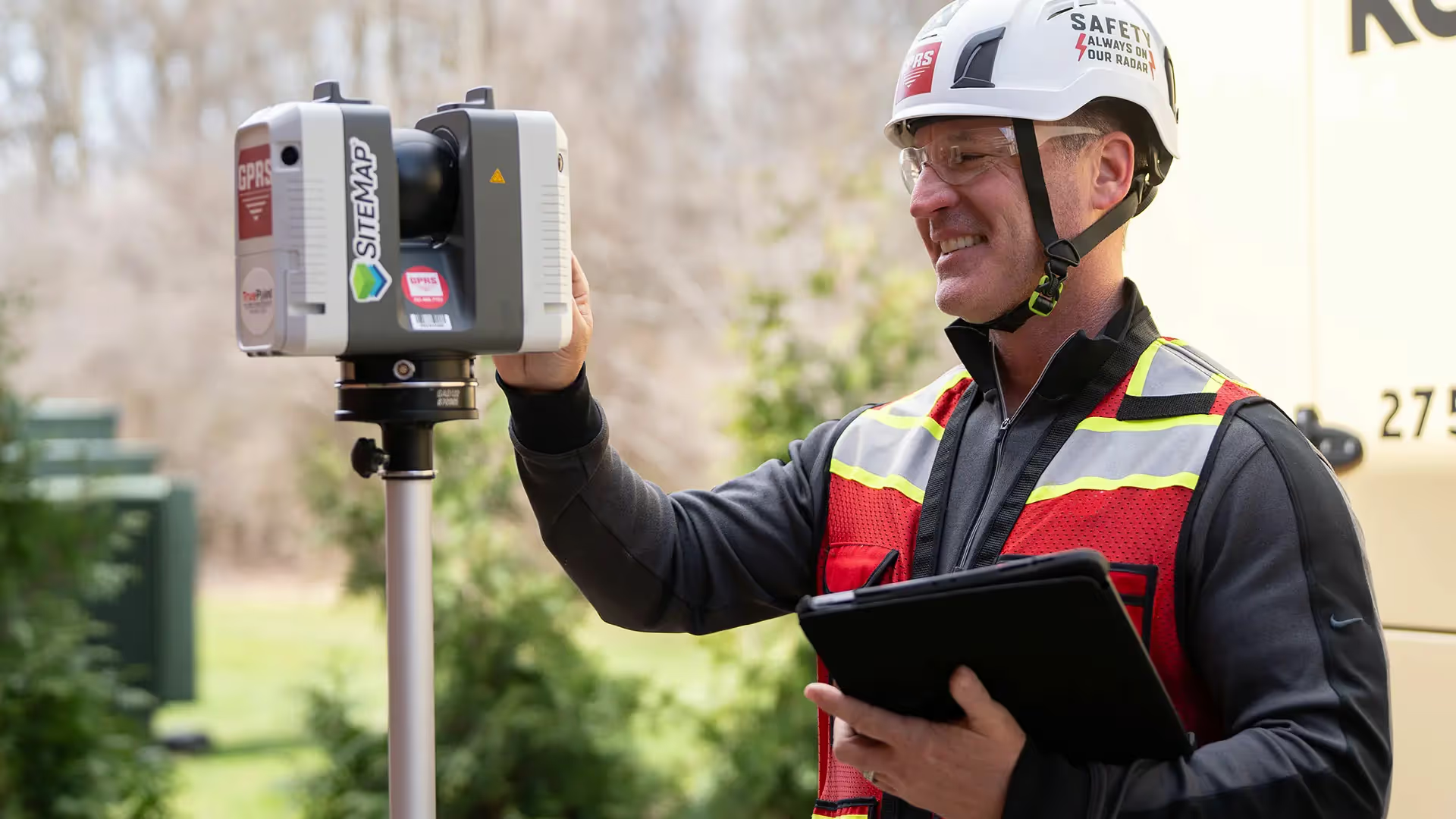
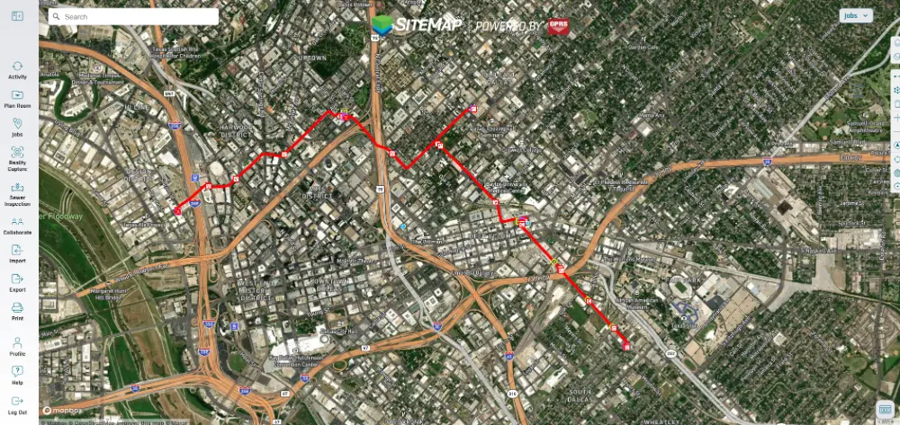
- Subsurface Investigation Methodology (SIM) compensated for the limitations of the array. SIM verified utility lines & types, and corrected inaccurate data with complementary technologies'The field team provided a full surface mark-out: tracked each line to a surface feature, uploaded the verified data with RTK positioning to SW Maps & SiteMap®, to provide data portability to ArcGIS, ESRI, et al.
- The field team provided a full surface mark-out: tracked each line to a surface feature, uploaded the verified data with RTK positioning to SW Maps & SiteMap®, to provide data portability to ArcGIS, ESRI, et al.
Benefits
- GPRS collected all the over-road data in 55 minutes to capture 171 utility lines and other features
- By supporting the high-speed array with SIM, GPRS was able to locate, identify, track, and log far more utilities than could have been found by the GPR array only
- Condor Osprey software produced a comprehensive TIF file that offers data portability to ESRI, ArcGIS, CAD, QGIS, Google Earth & SW Maps, among others
- GPRS’ precise depth work found two 10-foot tunnels buried 11 feet under the surface that did not appear on existing as-builts
CASE STUDY GALLERY
No items found.


.svg)


.avif)

