
Highlights
THE BOTTOM LINE
GPRS saved the GC untold labor hours and cost overruns by detecting clashes, finding deviations before they caused expensive rework, and discovering the buried slab.
INDUSTRY
Facilities
SERVICE
3D Laser Scanning
LOCATION
Toledo, Ohio
GPRS Insight
Deliverables
PROJECT APPLICATION
Rudolph Libbe, a longtime GPRS client and partner, oversaw the construction on the expansion of a northwest Ohio medical center. The addition is designed to occupy an existing parking lot for hospital employees, patients, and visitors. GPRS performed utility locating, video pipe inspection, and 3D laser scanning to create a comprehensive map and 3D model of the medical center’s infrastructure, both above and below ground.
ASK
Task
Complete subsurface mapping and millimeter-accurate aboveground measurements for a top-down, 360° visualization of a hospital wing and parking area to support a hospital expansion.
PROBLEM
- With parts of the medical center’s campus dating back to the mid-1800s, inaccurate as built data and unknown subsurface obstructions could jeopardize construction planning.
- It was imperative that the proposed locations of the structural foundation and planned utilities coordinated with the existing conditions.
- Rudolph Libbe desired 3D as builts to plan and complete the building addition, such as structural and utility tie-in information.
- Traditional exploration methods typically include “soft” excavation methods over the entire building footprint. This option is expensive, time consuming, and requires tremendous coordination.
Solution
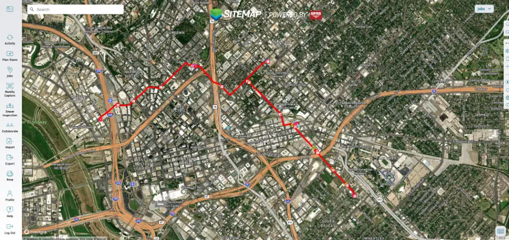
- GPRS utilized ground penetrating radar (GPR) and electromagnetic (EM) locating to map the hospital’s utilities.
- Video pipe inspection (VPI) recorded the precise location and condition of the facility’s sewer lines, detailed in a NASSCO-certified report.
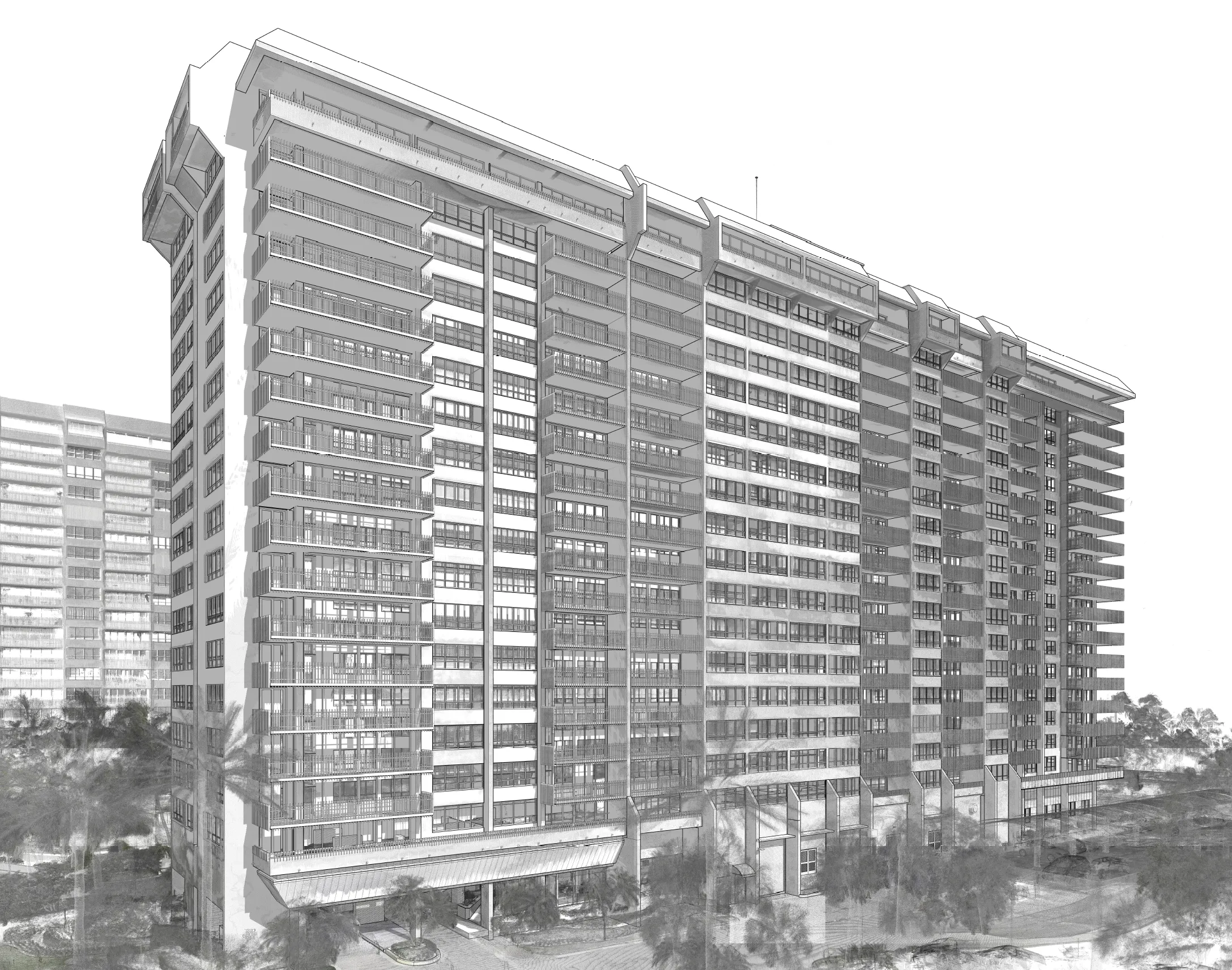
- 3D laser scanning documented as built site data and utility maps to create 2D CAD drawings and a 3D BIM model for virtual design and construction.
- GPRS participated in coordination meetings with construction and design team members.
Benefits
- Rudolph Libbe received millimeter accurate laser scan data and an integrated 3D BIM model to precisely design and plan the building addition during preconstruction.
- Non-destructive utility-locate methods reduced the number of unknown utilities and obstructions for the design and construction teams.
- GPRS’ as-builts allowed Rudolph Libbe to plan the new foundation and identify areas where further investigation would be warranted to prevent design and utility clashes.
- With comprehensive field services provided by GPRS, Rudolph Libbe saved time and money on change orders, and eliminated subsurface damage during the construction process.


.svg)


.avif)


.avif)

