
Highlights
THE BOTTOM LINE
GPRS’ 99.8% accurate utility locating and concrete scanning deliverables provided the client actionable data to install more than 30,000 safety bollards (and counting), nationwide.
INDUSTRY
SERVICE
LOCATION
GPRS Insight
Deliverables
PROJECT APPLICATION
ASK
Task
Provide excavation clearances for multiple contractors on more than 1,000 retail locations nationwide, ensuring the safe installation of more than 30,000 safety bollards for one national retailer
PROBLEM
- A national retail organization and gas station owner plans to install tens of thousands of stationary safety bollards to protect their buildings, employees, and customers from vehicle incursions
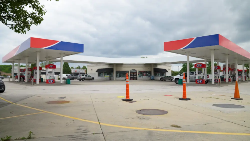
- Gas stations have a particularly complex subsurface infrastructure, much of it undocumented, so installing physical barriers could cause unnecessary damages and risk during the excavation phase
- The national retailer is using multiple general contractors across the U.S. for installation, so they need comprehensive and accurate subsurface facilities location and concrete scanning to maintain informational control
Solution
- GPRS was hired to provide EM and GPR utility locating andGPR concrete scans for more than 1,000 retail locations across the U.S.
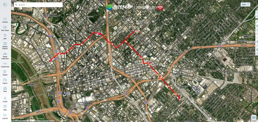
- We delivered all scans and utility mapping digitally, via either a Job Services Report (for concrete scans) or SiteMap®(for utility mapping) to the retailer and their contractors
Benefits
- GPRS’ national footprint provided the retailer with a rapid response team of GPR and safety experts equipped to provide excavation clearances at more than 1,000 locations, and can continue to provide clearances as the program expands
- Our adherence to Subsurface Investigation Methodology (SIM) meant the retailer could expect a consistent, extremely high level of accuracy, regardless of location
- Digital deliverables provide data and version control to the client, so they can provide the most up-to-date, accurate subsurface information to their contractors
CASE STUDY GALLERY
No items found.


.svg)


.avif)


.webp)


.avif)
