.svg)
Power Transmission Distribution

The Power Transmission and Distribution sector is estimated to have a market share of over $50 billion globally. As the United States moves forward in their deliberation regarding efficiency and a comprehensive plan for smarter energy, we anticipate extraordinary growth in this energy sector. Since 2001, GPRS has worked for major companies such as Duke Energy, American Electric Power, Ameren, and Exelon while completing nearly 3,000 miles of Transmission ROW scanning & over 500 substation projects.
When our clients hire a utility locating, concrete scanning, 3D laser scanning, video pipe inspection, and leak detection company, they look to hire the best. At GPRS, we pride ourselves on our experience and expertise. Our highly trained project managers provide an immediate and accurate report of subsurface utilities, existing conditions documentation, and facility infrastructure and management data, allowing you to safely and successfully complete your projects. We have experience in most T&D-related settings such as overhead transmission rebuild/construction, underground transmission planning/construction, substation as-built updating, foundation mapping, and more. With our comprehensive range of reporting options, we provide our clients with up-to-date records of underground utilities for future reference.
GPRS Delivers Complete Infrastructure Visualization
GPRS is the only company in the U.S. that can capture your entire site or facility, above and below-ground, to provide you with accurate as-builts, private and public utility maps, 2D CAD drawings, 3D BIM models, virtual tours, WinCan reports, and more documenting architectural, structural, MEP, and subsurface utility existing conditions, and instantly deliver data via SiteMap®, GPRS’ cloud-based digital storage software and app.
Utility Locating Services
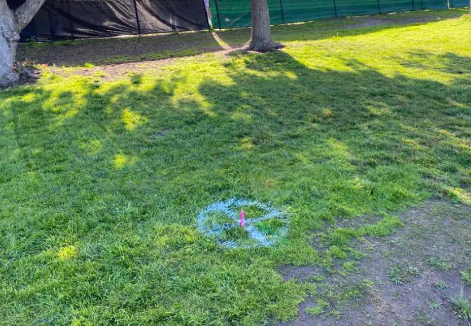
GPRS utility locating services utilize ground penetrating radar (GPR) and electromagnetic (EM) locating technology to locate, mark, and map existing underground infrastructure such as power lines, gas lines, pipelines, water lines, sewer lines, potential voids, and additional buried facilities and utility lines. This information is critical for projects where construction or excavation activities are planned to mitigate accidental utility strikes, plus keep your team and facility safe. GPRS delivers complimentary CAD utility site maps in PDF, KMZ, and SHP file formats, and can export your utility data into a wide variety of drawings, maps, and models to advance communication and collaboration on your project. All clients receive instant access to complete and aggregated site records in Sitemap® GPRS’ digital storage software and app, where data is geolocated, layered, and securely shareable.
Concrete Scanning Services
Concrete scanning is a non-destructive method to assess concrete using GPR to locate, identify, and mark utilities and objects such as rebar, post tension cables, beams, conduits, and piping embedded within concrete slabs and structures prior to anchoring, cutting, coring, and drilling. Concrete scanning ensures the safety of workers and prevents accidents by identifying potential hazards before any work occurs. Concrete markings can be 3D laser scanned to create a permanent record of the site, data can be delivered in 2D CAD drawings, 3D BIM models, and virtual site tours.
3D Laser Scanning Services
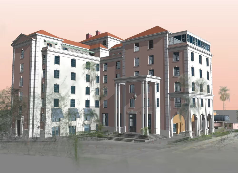
GPRS 3D laser scanning services document the exact architectural, structural, and MEP system layout and dimensions of existing telecommunication buildings, facilities, and sites. GPRS Project Managers use industry-leading Leica survey-grade laser scanners to capture 2-4 millimeter accurate existing site conditions in the form of a point cloud. Our in-house Mapping & Modeling Team can transform those point clouds into customized 2D CAD drawings, 3D BIM models, 3D mesh models, TruViews, and 3D virtual tours at any level of detail. 3D laser scanning is essential for the mapping and modeling of proposed implementation sites of telecommunication towers or telephone lines because it is a quick, accurate, and cost-efficient way to collect spatial data from the ground level. It is useful in finding ideal locations for telecommunication equipment (both the towers and paths), and its 3D modeling and topographical mapping abilities help to ensure that the infrastructure will work in relation to the rest of its environment. Additionally, even after successful telecommunication implementation, laser scanning is instrumental in troubleshooting and maintenance. Laser scanning is capable of determining the size and position of antennas on cell towers without surveyors needing to gain access to the tower. It can also be used to produce an inventory of antennas and telecommunication equipment.
Video Pipe Inspection Services
GPRS video pipe inspection services deploy robotic crawler CCTV cameras, lateral launch cameras, and push cameras to inspect and document water, sewer lines, and lateral pipelines to locate clogs, investigate cross bores, find structural faults and damage, and conduct lateral sewer line inspections. GPRS Project Managers deliver NASSCO-certified WinCan reports with the exact location, video, and photo of each defect, ranked by severity so you can plan for maintenance and repairs.
Leak Detection Services
GPRS specializes in all types of leak detection services, including municipal, industrial, and residential. Our Project Managers are leak detection specialists who utilize multiple technologies to locate your leak and the expertise to map and provide many other insights into your water distribution and/or fire suppression systems. GPRS does this by utilizing a variety of equipment paired with our industry-leading SIM (Subsurface Investigation Methodology) processes. The equipment and methods used include acoustic leak detectors, leak noise correlators, video pipe inspection (CCTV) cameras & sondes, ground penetrating radar, and electromagnetic locating, among others.


Let's Get To Work
Schedule A Project


CUSTOM SERVICE PLANS

Scheduling

Pricing

Approach

mapping & Modeling
GPRS delivers the most up-to-date, accurate and comprehensive site data possible in the format required for your project. We provide complimentary KMZ and PDF maps with every utility locate we perform. Our Mapping & Modeling Team can create a wide variety of customizable maps and models, from a simple GPS-enabled map of your utility locate, to highly-detailed 2D CAD drawings and 3D BIM models, depending on your needs.
AS BUILT DRAWINGS
2D MAPS & 3D MODELS
SITEMAP® MOBILE APP

One Call Program

Public Property
Private Property

Embedment