
Highlights
THE BOTTOM LINE
GPRS’ Mapping & Modeling Team communicated directly with the client to model exactly what was needed, keeping costs down by avoiding unnecessary modeling effort.
INDUSTRY
Agricultural 3D Laser Scanning
SERVICE
3D Laser Scanning, Mapping & Modeling
LOCATION
Saginaw, Michigan
GPRS Insight
Deliverables
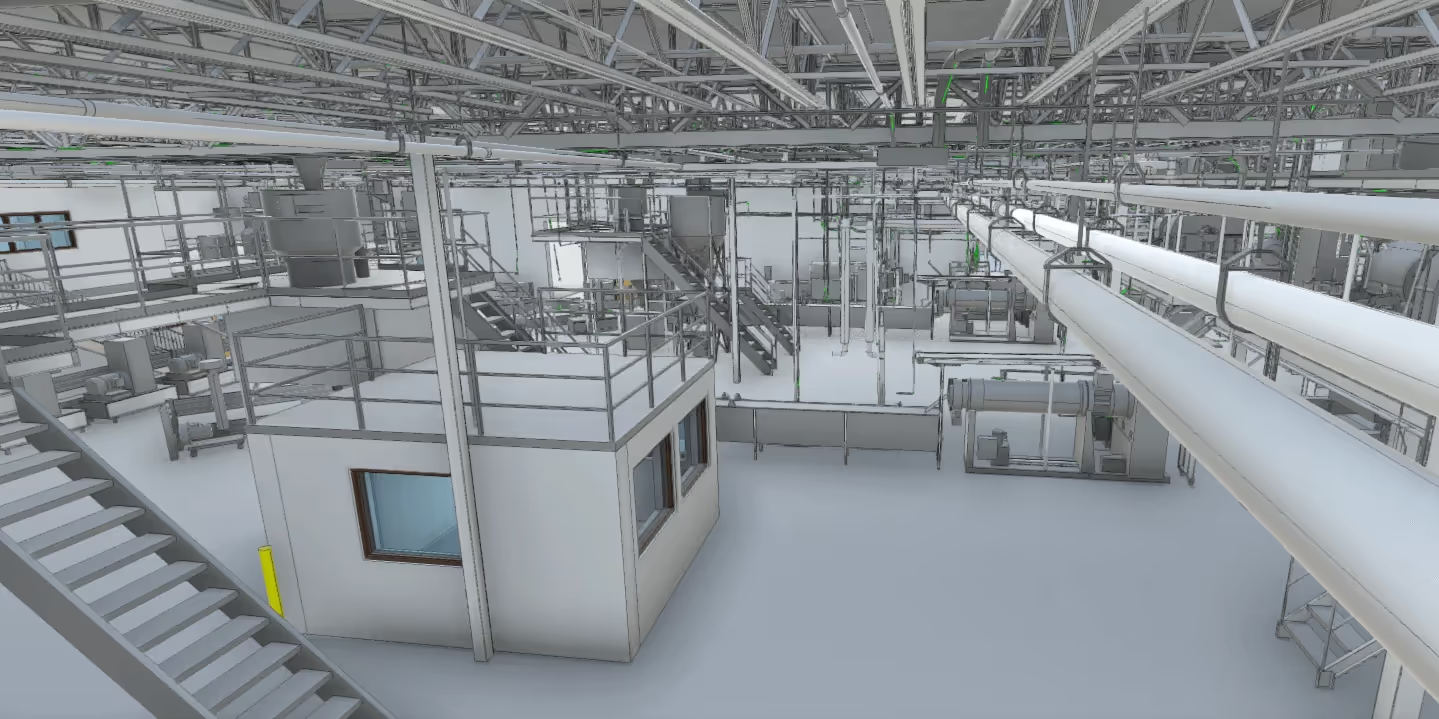
The client received Autodesk Recap files of the scans (.rcs file format), black and white TruViews of the site, a 3D AutoCAD Model of the site, and section and plan views of the model laid onto the point cloud data with callouts.
PROJECT APPLICATION
ASK
Task
GPRS provided high-definition laser scanning services at a grain elevator in Michigan to capture the existing conditions of the site. The client needed an accurate representation of the structural features to perform maintenance upgrades. They wanted specific documentation of the bucket elevator legs, fill conveyor bridges, and tower supports.
PROBLEM
This was a complex site that included the grain elevator, silos, bins, tanks, conveyors and bridges. The area laser scanned was near 180,000 square feet with heights over 110 feet. Traditional means of measuring would be difficult, costly, time consuming, and potentially hazardous.
Solution
The Project Manager completed laser scanning in two days utilizing the Leica C10 and Leica P40 laser scanners. Varying the position of the scanners on the ground and between silos, the technician was able to capture this complex site from a variety of angles. Additionally, the Project Manager occupied elevated positions and tied those scans to the scans performed at grade. All scanning could be safely performed from a distance without climbing the structure and without the need for renting lifts or scaffolding.
Benefits
GPRS’ Mapping & Modeling Team communicated directly with the client to model exactly what was needed to keep costs down by avoiding unnecessary modeling effort. Using advanced extraction techniques and specialized software, GPRS was able to accurately represent structural features and deliver these to the client.
The professionals at GPRS have extensive experience 3D laser scanning for the agricultural industry, including grain handling, storage, feed, milling, and processing industries. We have 3D laser scanned grain facilities, ethanol facilities, production agriculture, grain processing operations, and suppliers to the food corn industry.
From the initial planning and design of a grain silo, to engineering grain intake and distribution towers, to construction of a grain loading dock, to replacing ducts and piping for a grain chute, to analyzing tank farm slab elevation contours – and everything in between – GPRS has the resources to create a solution unique to your business needs.
We have completed scanning projects ranging from small rooms to entire facilities. We have captured precise data of grain intake and distribution towers, tanks, silos, hoppers, conveyors, support cables, structural members, machinery, equipment, rail spurs, catwalks, cleaning houses, grain elevators, drive throughs, and so much more.


.svg)


.avif)


.avif)