
Highlights
THE BOTTOM LINE
In less than two hours on site, GPRS 3D Laser Scanning captured all aboveground features and utility field markings that were then used to provide integrated above and below-ground plan view of the campus via 2D CAD drawings to plan HVAC upgrades, and have accurate existing condition documentation for future use
INDUSTRY
Facilities - Education, Construction
SERVICE
3D Laser Scanning, Utility Locating, Mapping and Modeling
LOCATION
Los Angeles, California
PM Insight
Deliverables
PROJECT APPLICATION
The client required precise documentation of the surrounding structural elements and subsurface so they could design piping, reinforcing, and coring in the least invasive way.
ASK
Provide accurate existing condition documentation of aboveground structures and subsurface infrastructure on a high school campus to plan upgrades to 16 HVAC units and piping onsite.
Task
A Los Angeles, California high school required 3D laser scanning of the above ground and below ground infrastructure to create 2D CAD drawings and plan for HVAC system upgrades throughout the campus
PROBLEM
- A 12-year-old high school was replacing the piping on 16 HVAC units throughout the campus.
- The piping for these units runs intricately in and out of buildings, and through retaining walls and mechanical yards.
- The areas that the pipes thread through do not have any as-builts or existing plans.
Solution
- Using the Leica RTC360 laser scanner, a Project Manager captured elements of the surrounding campus and GPR markings in less than 2hours on site
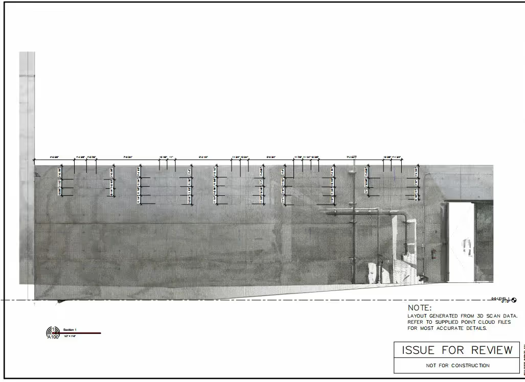
- This project was laser scanned in full color, allowing the client to easily visualize and identify structural elements, pipes, conduits, and concrete reinforcement points inside the point cloud
- CAD engineers created 2D AutoCAD floor plans and exterior elevations, PDFs with and without the point cloud overlayed
Benefits
- The combination of laser scanning structural and ground penetrating radar markings provided the client a high definition 3D comprehensive view of the campus, including both visible and invisible elements
- With 3D laser scan data, the client can verify the HVAC mechanical equipment with confidence knowing high accuracy instruments minimize position error throughout the 3D space
- The client has the most up-to date, accurate and comprehensive information to design HVAC upgrades


.svg)


.avif)


.avif)
