
Highlights
THE BOTTOM LINE
GPRS Video Pipe Inspection, and utility mapping services located and ensured the integrity of a groundwater remediation system at a disused mine in Colorado.
INDUSTRY
SERVICE
LOCATION
Colorado
PM Insight
Deliverables
PROJECT APPLICATION
ASK
Task
Map and inspect the condition of a buried water remediation system at a disused Colorado mine.
PROBLEM
- The mine owner was planning renovation and expansion work near the property’s buried groundwater remediation system, and needed to know where the location and condition of this underground infrastructure
- There were no existing, accurate maps of this buried system
- Striking one of these lines while excavating would have resulted in soil contamination and costly repairs
Solution
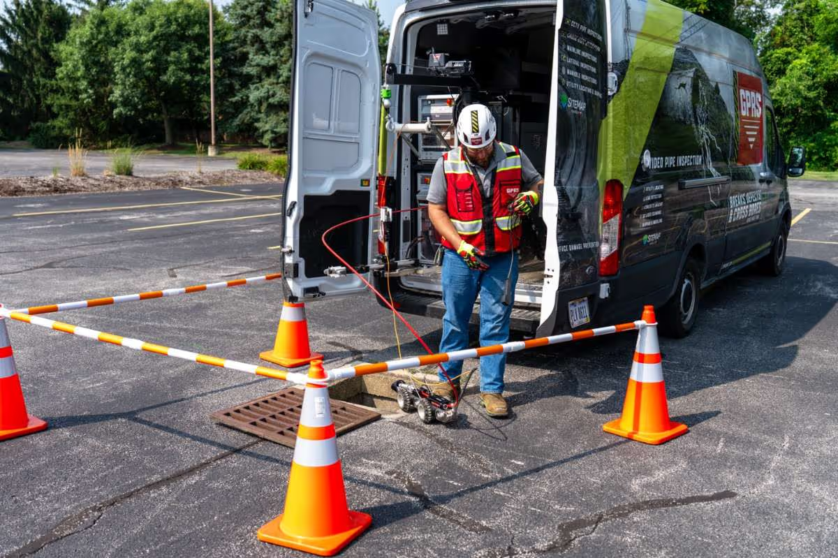
- GPRS utilized our NASSCO-certified Video Pipe Inspection services to inspect and map the buried lines
- Remote-controlled rovers and push-fed scopes equipped with sondes captured detailed photo and video evidence of the system’s condition, while simultaneously allowing for the mapping of the lines from the surface utilizing an electromagnetic locator
- A NASSCO report was created detailing the condition of the system, which was found to have no defects
- A GPS map was created of the located lines, and this data was uploaded into GPRS’ SiteMap® application for future reference
Benefits
- By locating and mapping the buried lines, GPRS helped ensure that the planned construction projects would not damage the water remediation system
- The accurate, complete map of this underground infrastructure will mitigate the risk of subsurface damage and soil contamination during all future projects
- The NASSCO-certified Video Pipe Inspection report verified that there are no defects in the system which could compromise its integrity, giving the mine owner peace of mind and helping them responsibly allocate their maintenance dollars
CASE STUDY GALLERY
No items found.


.avif)


.avif)


.avif)

