3D Laser Scanning Services in Connecticut

As an architecture, engineering, or construction professional, you understand that projects require a tremendous amount of planning and coordination. GPRS 3D Laser Scanning can deliver accurate as-builts, point clouds, 2D CAD drawings, 3D photogrammetry, and 3D BIM models to expedite project planning and reduce change orders, delays, and costs.

Whether you are a general contractor or facility manager planning renovations or modifications, or an architect or engineer who requires precise project data, GPRS provides accurate existing conditions documentation, reality capture, and scan-to-BIM services to bring your design and construction projects in on time, and on budget.

When you need accurate architectural, structural, and MEP system dimensions, locations, and layouts for design, prefabrication, clash detection, facility modifications, or asset management, call GPRS. 3D laser scanning minimizes shutdowns and disruptions, eliminates the need for site revisits, and provides accurate as-built data to reduce risk and increase project efficiency.
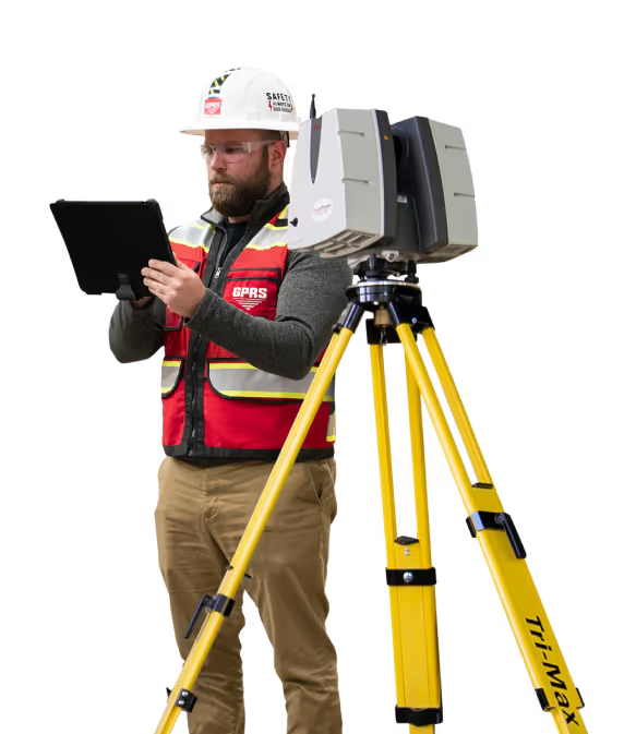
A man in a hard hat holding a tablet.

Hartford 3D Laser Scanning

646-558-5166laser@gprsinc.com

GPRS Project Managers

GPRS is the leading provider of 3D laser scanning services in Connecticut. Our Project Managers document your site with the Leica ScanStation P-Series and the Leica RTC360 3D laser scanners, capturing up to 2 million data points per second with 2-4 millimeters accuracy. Each Project Manager completes the most extensive training program in the industry, with 80 hours of hands-on classroom training and 320 hours of mentorship in the field, plus another 40 hours of LiDAR training to deliver expertise in 3D laser scanning equipment and field knowledge.

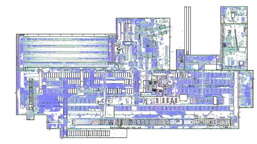
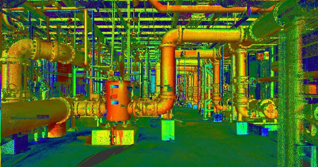
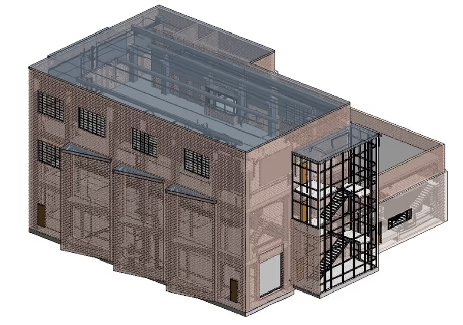
A 3D image of a factory with pipes and valves.A drawing of a road with a red line on it.A 3D drawing of a building with a staircase.

GPRS Mapping & Modeling Team

Construction drawings and models streamline planning, visualization, and coordination on your project because they provide a single source of truth for designers, architects, engineers, and contractors. GPRS’ in-house Mapping & Modeling Team can customize as-built data, 2D CAD drawings, 3D BIM models, 3D mesh models, virtual tours via WalkThru 3D, digital twins, floor plans via FLRPLN, and more to ensure you have all the information you need to get the job done right, delivered via GPRS’ SiteMap® digital storage software and app.

Maps and models can be produced at any level of detail in a variety of formats such as Revit, AutoCAD, ReCap, Navisworks, Civil 3D, BIM360, A360, Bentley, Leica Cyclone, Cintoo, and more. We have optimized workflows for importing data, registration, creating deliverables, quality checks, and transferring data to clients.

Not sure what you need? Not a problem. Our experienced Project Managers will work closely with you to define the project scope and use the right equipment and software to accurately map and model your project to accomplish your goals.

WHY CHOOSE US? 

THE GPRS DIFFERENCE.

With GPRS, clients can rest assured that our rigorously trained Project Managers use state-of-the-art technology to deliver the accurate as built information you need to do the job right. GPRS leads the industry to deliver precise as built information to enhance communication and collaboration among your project teams.

GPRS 3D Laser Scanning Services can bring these benefits to your project:

  • Collect up to two million data points per second with the highest-quality survey-grade laser scanners
  • Capture exact dimensions and measurements of your project site
  • Expedite planning and design with accurate as-builts
  • Eliminate site disruption and revisits
  • Receive precise point clouds, 2D drawings, and 3D models to improve collaboration and coordination
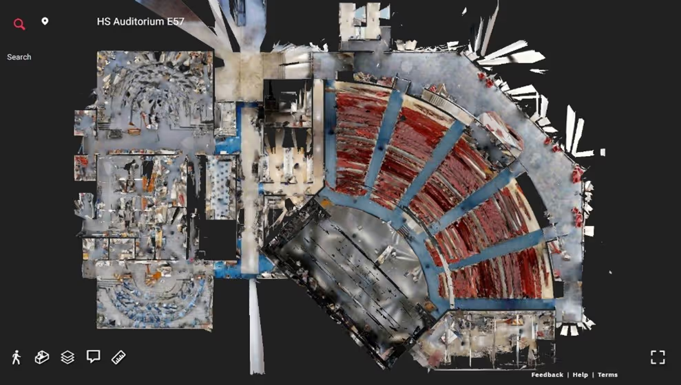
  • Tour the location, add digital notes, and even measure with a virtual tour
  • Reduce project risks, change orders, delays, accidents, and costs
GPRS main Logo: Intelligently Visualizing the built world | GPRS

GPRS 3D Laser Scanning Services in Connecticut

A blue and white drawing of a building with a lot of wires.
As-Built Services
As-built services capture exact architectural, structural, and MEP system dimensions and layout of existing buildings, facilities, and sites, making them invaluable for design, construction, renovations, and modifications.
Learn More
A green and blue image of a factory with pipes and valves.
Point Clouds
3D laser scanners record highly accurate digital measurements of sites and assets in the form of a point cloud and can be used to create 2D CAD drawings and 3D BIM models that improve project workflows, shorten turnaround times, and reduce costs.
Learn More
A 3D model of a building with a staircase.
3D BIM Modeling
Intelligent 3D Building Information Models (BIM) provide contractors, engineers, architects, and facility managers an accurate digital twin of buildings and infrastructure to collaborate on design, construction, and operations.
Learn More
A picture of a building with a red circle in the middle.
3D Photogrammetry
3D rendered images can be used to create virtual tours, floorplans, topographic maps, point clouds, 3D models, and more for planning, analysis, and calculations.
Learn More
A drawing of a building with a red roof and a green roof.
2D CAD Drawings
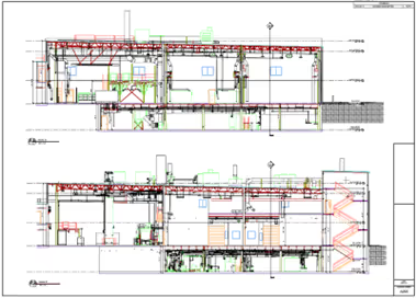
GPRS can translate 3D laser scan data into 2D CAD drawings that provide your team with up-to-date floor plans, elevations, sections, details, isometric drawings, reflected ceiling plans, and more.
Learn More
A red pipe with a blue wire running through it.
Clash Detection
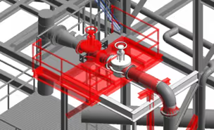
3D laser scanning captures as-built site conditions with 2-4 mm accuracy, helping to identify potential clashes, prefabricate components, and plan a flawless installation.
Learn More
A 3D drawing of a church with a steeple.
Design-Build
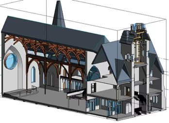
3D laser scanning provides accurate as-built site data to prevent expensive rework by identifying any mistakes early in the design through the construction phase.
Learn More
A stadium seating chart with a red line on the field.
Drone Imagery
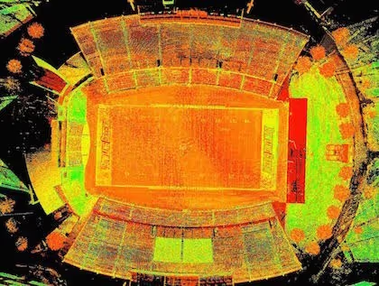
GPRS offers rectified photogrammetry, aerial video and images, LiDAR scans, 2D orthomosaic images, CAD drawings, 3D models, and 3D fly throughs thanks to a wide-range of drone services operated by FAA Licensed pilots.
Learn More

We provide 3D Laser Scanning Services to these Connecticut counties & many more:

  • Fairfield County
  • Hartford County
  • New Haven County
  • New London County
  • Litchfield County
  • Middlesex County
  • Tolland County
  • Windham County

Our portfolio of work includes projects in these Connecticut cities & many more:

  • Bridgeport, CT
  • New Haven, CT
  • Stamford, CT
  • Hartford, CT
  • Waterbury, CT
  • Norwalk, CT
  • Danbury, CT
  • New Britain, CT
  • West Hartford, CT
  • Bristol, CT

3D Laser Scanning a Grain Elevator in Michigan

GPRS’ Mapping & Modeling Team communicated directly with the client to model exactly what was needed, keeping costs down by avoiding unnecessary modeling effort.
GPRS provided high-definition laser scanning services at a grain elevator in Michigan to capture the existing conditions of the site. The client needed an accurate representation of the structural features to perform maintenance upgrades. They wanted specific documentation of the bucket elevator legs, fill conveyor bridges, and tower supports.
GPRS provided high-definition laser scanning services
Meta Title: 3D Laser Scanning a Grain Elevator in Michigan Meta Description: GPRS provided high-definition laser scanning services Images: Link: https://www.gp-radar.com/services/3d-laser-scanning Alt Tag: A 3D model of a steel silo. Caption: GPRS created a 3D model of the steel silo, which stood over 110 feet tall. Link: https://www.gp-radar.com/services/3d-laser-scanning Alt Tag: Screenshot of a 3D model of steel elevation. Caption: 3D model of the steel elevation shown in Edgewise software. Link: https://www.gp-radar.com/services/3d-laser-scanning Alt Tag: 2D drawings of a grain elevator. Caption: GPRS created 2D drawings, which included modeled objects and point cloud overlay. Link: https://www.gp-radar.com/services/3d-laser-scanning Alt Tag: Navisworks image of silos and bridges from ground level. Caption: This Navisworks image shows the silos and bridges from ground level. Link: https://www.gp-radar.com/services/3d-laser-scanning Alt Tag: Point cloud data of towers of a grain elevator. Caption: Point cloud data of the towers. Link: https://www.gp-radar.com/services/3d-laser-scanning Alt Tag: Screen capture of 3D Navisworks image of bucket elevator legs of a grain silo. Caption: 3D Navisworks screen capture of the bucket elevator legs. Link: https://www.gp-radar.com/services/3d-laser-scanning Alt Tag: Edgewise screen capture of grain silos and bucket elevator. Caption: This image captured in Edgewise software shows the two silos and the bucket elevator. Link: https://www.gp-radar.com/services/3d-laser-scanning Alt Tag: 3D screen capture of steel structure. Caption: 3D screen capture of steel structure showing channels and tubes. Header: A GPRS Case Study: 3D Laser Scanning a Grain Elevator in Michigan Location: Near Saginaw, Michigan Task: GPRS provided high-definition laser scanning services at a grain elevator in Michigan to capture the as-is conditions of the site. The client needed an accurate representation of the structural features to perform maintenance upgrades. They wanted specific documentation of the bucket elevator legs, fill conveyor bridges and tower supports. Challenge: This was a complex site that included the grain elevator, silos, bins, tanks, conveyors and bridges. The area laser scanned was near 180,000 square feet with heights over 110 feet. Traditional means of measuring would be difficult, costly, time consuming and potentially hazardous. Solutions: The Project Manager completed laser scanning in two days utilizing the Leica C10 and Leica P40 laser scanners. Varying the position of the scanners on the ground and between silos, the technician was able to capture this complex site from a variety of angles. Additionally, the Project Manager occupied elevated positions and tied those scans to the scans performed at grade. All the scanning could be safely performed from a distance without climbing the structure and without the need for renting lifts or scaffolding. Deliverables: The client received Autodesk Recap files of the scans (.rcs file format), black and white TruViews of the site, a 3D AutoCAD Model of the site, and section and plan views of the model laid onto the point cloud data with callouts. Added Value: GPRS’ CAD technicians communicated directly with the client to focus on key areas for detailed modeling to model exactly what was needed to keep costs down by avoiding unnecessary modeling effort. Using advanced extraction techniques and specialized software, GPRS was able to accurately represent structural features and deliver these to the client.
All
3D Laser Scanning
3D Laser Scanning
Mapping & Modeling

GPRS Utility Locate and 3D Laser Scan for a Gas Station

The data GPRS collects can be used to develop the utility portion of a conceptual site model (CSM) to visualize migration routes, communicate with stakeholders, make informed remediation decisions, and protect the team on site and the environment.
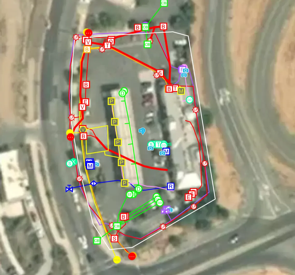
A gas station requested utility locate and as built data to document the existing conditions for site upgrades and to develop an emergency response plan for potential leaks. Accurate 2D utility locate maps, a 3D BIM model, and a conceptual site model (CSM) were created of the gas station, underground storage tank system, and surrounding utilities.
A Michigan gas station requested utility locate and as built data to document the existing conditions for site upgrades and to develop an emergency response plan for potential leaks.
Task: A gas station requested utility locate and as built data to document the existing conditions for site upgrades and to develop an emergency response plan for potential leaks. Accurate 2D utility locate maps, a 3D BIM model, and a conceptual site model (CSM) were created of the gas station, underground storage tank system, and surrounding utilities. Problem: The gas station lacked as built site information required for compliance with environmental regulations, essential to plan for site upgrades, and necessary to take prompt corrective action in the case of an emergency. The client did not have an accurate conceptual site model (CSM) to understand and interpret contaminant fate and transport in the subsurface. Solution: GPRS Project Managers used state-of-the art equipment to perform ground penetrating radar (GPR), electromagnetic (EM) locating, video pipe inspection (VPI), leak detection, 3D laser scanning, and drone photogrammetry services at the gas station. The GPRS Mapping & Modeling Team delivered accurate as built and utility location data in point cloud, 2D maps, 3D BIM model formats, to help eliminate guesswork from decision making, and prevent time-consuming and dangerous mistakes and the costs associated with them. The gas station received access to millimeter-accurate information to efficiently plan work and drill safely. Locating underground storage tanks, including their depths, can help the station owner detect unusual fluctuations in fuel levels and assess any potential leak faster. Detailed site maps can help to communicate the location of a leak, the most likely paths and extent of horizontal and vertical delineation, and to plan assessment and mitigation efforts. Benefits: Infrastructure location and mapping are vital before conducting any construction or subsurface work like soil boring, or coring concrete to drop vapor pins – to eliminate clashes and utility strikes and keep workers and the community safe. Comprehensive site data is essential for the early detection and management of petroleum leaks at a gas station, to help minimize environmental damage and ensure the safety of employees and the surrounding community. GPRS as built maps and models provide accurate information to avoid hitting a UST or system component, and to avoid a utility strike when sampling soil. The GPRS SiteMap® mobile app securely stores utility data, geolocated and layered, and securely accessible for the station stakeholders to share with those who may need it. The data GPRS collects can also be used to develop the utility portion of a conceptual site model (CSM) to visualize migration routes, communicate with stakeholders, make informed remediation decisions, and protect the team on site and the environment.
All
3D Laser Scanning
3D Laser Scanning
Utility Locating

Ethanol Plant Upgrades to Increase Efficiency and Lower Emissions

3D laser scanning will help this Andersons’ facility optimize processes and equipment to improve their overall efficiency, decrease air pollution, reduce costs, and remain competitive in the market.
GPRS was hired by TLF Engineers to 3D laser scan the exterior cooler area at the southeast corner of The Andersons’ Indiana Ethanol Plant and create a 3D BIM model for process improvements.
Ethanol Plant Upgrades to Increase Efficiency and Lower Emissions ethanol plant model TruePoint.png “We were extremely impressed with GPRS in your timeliness on responding to our request, to having a crew on site to complete the scan, and in your communication with us through the process. This was the first time we have used GPRS modeling services, and the 3D model your team created was outstanding. We were very impressed with the level of detail and quality of the model, the speed in which your team was able to create it, and all aspects of communication during the process.” TLF Engineers’ Senior Project Engineer Seth A.R. Gressley, P.E. Location: Clymers, Indiana Task: GPRS was hired by TLF Engineers to 3D laser scan the exterior cooler area at the southeast corner of The Andersons’ Indiana Ethanol Plant and create a 3D BIM model for process improvements. Project Application: 3D laser scanning collects accurate agricultural as-built data safely from the ground, delivering precise site layout and dimensions for design planning and analysis. Problem: The Andersons’ planned to make process improvements over the next five years to improve operational efficiency and lower plant emissions TLF Engineers needed up-to date as-builts of the plant infrastructure to design upgrades to equipment and production lines Precise details were required for a 2,500 sq. ft. area, including the existing cooler, drop box, dust collectors, platforms, cooler, stack, and ductwork Solution: 3D laser scanning captured a colorized point cloud with 2-4mm accuracy and HDR images in less than 3 minutes per scan location The point cloud was used to develop a 3D BIM model at a very high level of detail with precise architectural, structural, and MEP features TruView 360° photographs provided a virtual site tour, allowing the client to take basic dimensions, estimate clearances, and markup the project site. Benefits: Comprehensive data of existing structure and equipment was crucial to plan process improvements and equipment optimization With a detailed 3D BIM model, the engineering team was able to virtually design the facility layout, retrofit equipment and optimize workflow Updates improved ethanol yield and quality, increased production efficiency, and lowered plant emissions
All
3D Laser Scanning
3D Laser Scanning
Mapping & Modeling

We Have Two Ways To Request An Online Quote:

  1. If you are familiar with Laser Scanning, fill out the form below
  2. If you are new to Laser Scanning, click here for more detailed prompts

GPRS
INTELLIGENTLY VISUALIZING THE BUILT WORLD®